Daniel BrooksNovember 19, 2026
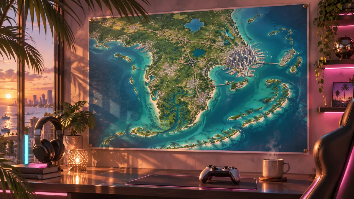
For years, fans have studied trailer frames pixel by pixel to work out what Leonida looks like. On release day, Rockstar ends the guessing: the official GTA 6 media page now has a new item called “Leonida Map Poster & Cover Art”. It's the complete, fully labeled map of the state, free to download and big enough to print.
We took a close look at the poster, read every label and compared it with our interactive map. Here's where to find it, what's on it and which details fans will spot right away.
- On November 19, 2026, Rockstar released the official map of Leonida as a poster
- The download is free on Rockstar's artwork page, in four sizes
- The map shows five counties: Lummox, Kelly, Leonard, Vice-Dale and Mariana
- Over 100 places, islands, lakes and landmarks are labeled, plus all the major roads
- The largest version is 2,805 × 3,840 pixels, enough for a print up to about A2 (roughly 16.5 × 23.4 inches)
How to download the official GTA 6 map
The download takes under a minute and doesn't need a Rockstar account:
- Open the GTA VI Artworks & Wallpapers page on rockstargames.com.
- The map poster is the first item, top left. Click it to open the preview.
- At the bottom right, pick the variant (map or cover art) and one of the four sizes.
- Use the download arrow to save the file. If you want everything, hit “Download All” and you get all the artworks as a ZIP.
Our tip: Always pick the largest version for printing. At 300 dpi, 2,805 × 3,840 pixels is good for about 24 × 33 cm (roughly 9 × 13 inches), so a little bigger than A4 in top quality. At 150 dpi, which is plenty for a wall, it becomes an A2-size poster (about 16.5 × 23.4 inches). A matte print looks classier than glossy, since the map uses lots of light blues.
What's on the map: the five counties of Leonida
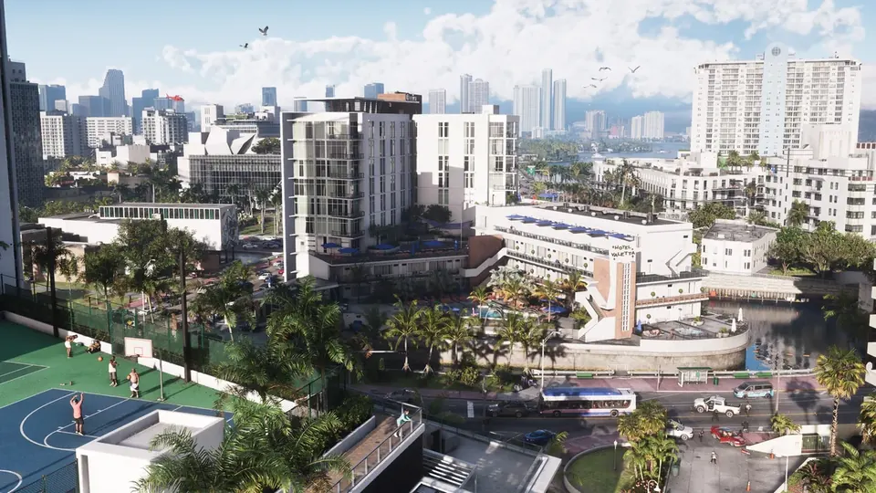
The biggest surprise for many: Leonida is officially split into five counties, and the map shows them in big letters. In the north is the mountainous Lummox County with Mount Kalaga National Park, in the west Kelly County around Port Gellhorn, and in the east Leonard County with Lake Leonida and the Atlantic coast. Way down south you'll find Vice-Dale County with Vice City and Vice Beach, and the southwest with the swamps and the Keys belongs to Mariana County.
| County | What the poster lists in the area |
|---|---|
| Lummox County | Mount Kalaga National Park, Bonanza, Moreau, Grayson, MacAlister Gold Mine, Lake Tallaloko |
| Kelly County | Port Gellhorn, Gellhorn Raceway, Emerald Springs, Buckskin Swamp, Capri, Breakwater Quarry |
| Leonard County | Ambrosia, Millport, Waning Sands, Belville, Lake Leonida, Richard Barebone State Park |
| Vice-Dale County | Vice City, Vice Beach, the VCIA airport, Port Vice City, Gloriana Key and Catalan Key |
| Mariana County | Grassrivers, Watson Bay, Pelican Valley, Key Lento, Goose Key with the Mile Zero Air Station |
The county borders aren't drawn on the poster, only the names. So we can't say exactly where Kelly County ends and Leonard County begins. You can read more about the individual areas in our wiki under Leonida, Mount Kalaga National Park, Port Gellhorn, Ambrosia and Grassrivers.
Vice City in detail: all the districts at a glance
Zoom in on Vice City and you'll find the city in more detail than ever. On the mainland you'll see Downtown, Little Cuba, Crosstown, Rockridge, La Perle, Bayside, Stockyard, Salton, Southside, Tequesta, Peacock Bay and the Decor District. On top of that there's Port Vice City in the harbor, the Sahara Arena and a stadium called Fleeca Field.
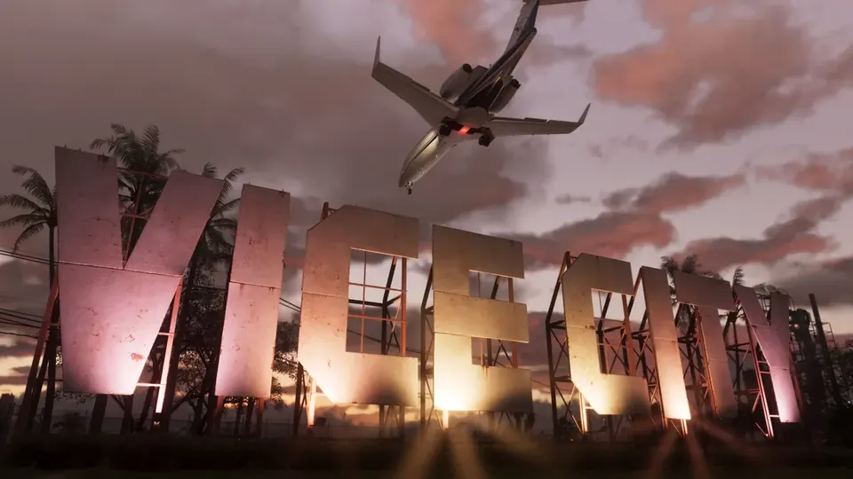
Out on the water, Vice Beach is spread across lots of small islands: Washington Beach and Ocean Beach on the Atlantic coast, plus Leaf Links, Starfish Island, Rialto Islands, Penmarch Isle, Oldby Island, Casanova Island, Catalan Island, Vespucci Island, Waxman Island and Salton Memorial Island. The airport is spelled out as Vice City International Airport and sits west of downtown. You'll find everything about the city in our wiki under Vice City, Ocean Beach and Little Cuba.
Islands, Keys and roads
Around the mainland, the map counts more than 20 islands and island groups. In the northwest are the Featherstone Islands and the Zephyr Islands, and on the east coast Hyde Island, the Frampton Islands and Little Hardin Island. In the south, the chain of Keys stretches far out to sea: Corsair Key, the Shoeless Keys, Key Lento, Abismo Key, Maroon Key, the Permit Keys, Goose Key and, way out west, the Riquezas Keys. Our overview of the Leonida Keys explains what to expect there.
Useful if you want to get your bearings: the legend lists four types of roads, Interstate, US Route, State Route and County Route, plus toll roads. Among others, these numbers are marked:
| Road | Route on the poster |
|---|---|
| Interstate 97 | north-south axis along the east coast, from Waning Sands all the way to Vice City |
| Interstate 297 | across the north, from Lummox County toward Millport |
| Interstate 404 | from Port Gellhorn southeast to Vice City |
| Interstate 397 | link through Vice City toward Vice Beach |
| US 628 | through the mountains of Lummox County, past Grayson and Moreau |
| US 35, US 183, US 82 | inland connections, including near Ambrosia and Capri |
| State Road 1A | the road across the Keys, partly a toll road |
Details fans will love
Rockstar wouldn't be Rockstar if the map weren't full of little nods. Some names will ring a bell for longtime fans of the series. These are our own observations, and Rockstar hasn't commented on them:
- Starfish Island and Leaf Links were already in GTA Vice City from 2002, and here they are again.
- Vinewood Beach on the Atlantic coast is reminiscent of Vinewood, the Hollywood district of Los Santos.
- Vespucci Island alludes to Vespucci Beach from GTA 5.
- Fleeca Field carries the name of the bank chain that players know from GTA Online.
- At the bottom right sits the Great Seal of the State of Leonida with the motto “Palus Dei”, loosely translated as “swamp of God”. For a state full of swamps and alligators, that fits perfectly.
Another nice touch: at the top left there's a “Visit Leonida” ad banner like on a real tourist map, complete with scale and legend. The map is meant to look as if Leonida's tourism board had published it.
Poster vs. interactive map: what's the difference
The poster is an overview map, ideal for your wall or as a wallpaper. What it doesn't show: collectibles, shops, missions and locations. That's exactly what our interactive GTA 6 map is for. It's based on the in-game map, shows over 3,600 places and around 200 locations of collectibles and activities, and you can tick off what you've already found.
We compared the names on the poster with our data. 82 of the 118 names we counted are already on our map. 36 are new, for example Bonanza, Grayson, Frogswater, Vinewood Beach, Richard Barebone State Park, the Featherstone Islands and Henry J Edwards Airport. We have already added them. By the way, our map and the poster are geometrically identical, with an average deviation of about 1.5 metres. How big Leonida is overall and how long it takes to get from north to south is covered in our article on the size of the GTA 6 map.
Our take
The poster is a really nice gift from Rockstar. It looks like a real Florida road map, it's lovingly designed and it finally answers how the regions connect. For collectors who missed out on the “Goodtime State” box from the Rockstar Store, printing it is a good alternative. If you want to keep your bearings while playing, print it and hang it next to your TV. For hunting flamingos, trading cards and stunts, though, an interactive map is still the better choice, and you'll want our 100 percent guide open alongside it.
What Rockstar showed of the map in the months before release is collected in our guide to the official GTA 6 map.
Frequently asked questions about the official GTA 6 map
Is there an official map of GTA 6?
Yes. On November 19, 2026, Rockstar released the official map of Leonida as a poster on the GTA VI media page.
Where can I download the GTA 6 map?
On rockstargames.com under GTA VI, Media, Artworks & Wallpapers. The map poster is the first item. The download is free.
How many counties does Leonida have?
Five: Lummox County, Kelly County, Leonard County, Vice-Dale County and Mariana County.
Can I print the GTA 6 map?
Yes. The largest version is 2,805 by 3,840 pixels. That's good quality up to about A2 (roughly 16.5 × 23.4 inches).
Does the official map show collectibles too?
No. The poster shows places, islands and roads, but no collectibles. For that, there are interactive maps like ours.
Sources: Rockstar Games: Artworks & Wallpapers · Pure Xbox